Training Day #3 – Solutions (kind of)
I guess by now everybody who was planning to go through the little homework assignment has done so by now…
Each of the problems I posted was based on a situation I have encountered, either on my own tours.
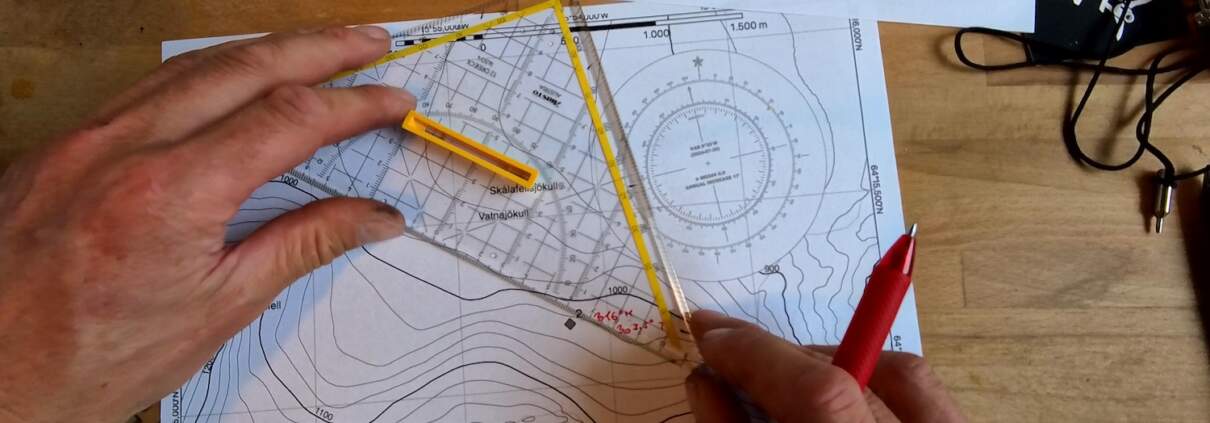
Estimating the accurate location of an unknown point by using bearings from / to other, known locations is called position resection or intersection, a method that is worthwhile to be familiar with even in the modern day of GPS devices.
The issue with mixed interpretations of GPS coordinates has come up multiple times in search & rescue, for example during a SAR operation on Grímsfjall last year, and I wrote a more detailed blog post about this at the time.
Counting steps and developing an intuition for distances covered is an important skill for anybody who plans to reduce their reliance on GPS devices, and with phones and watches counting steps fairly accurately even in standby and low power modes, that is a cheap way for estimating distances and saving your battery at the same time.
Here is a video where I’m going through each of the problems in turn.
Thanks to everybody that participated, and I am looking forward to doing more of this very soon. Next time it will be outside!
August 31st, we’ll meet at the turnoff from the Ring Road towards Heinaberg.


